
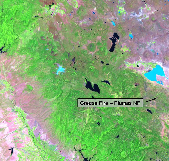
Not only that, but the Grease Fire was contained at 366 acres (and they spent just under a million bucks suppressing this small little guy)! That's like 50 Landsat pixels! I wanted to call the guy back and say, "Sorry, we don't have any Landsat acquisitions lined up for that fire for the next 7 days or so, so you'd be better off spending $500 and flying all 366 acres in a helicopter to do your mapping." But I couldn't do that. There was a good Landsat just a few days ago. Now I just had to find the burn scar before I could order the scene.
The online quicklooks of the Landsat acquisitions are stored on EarthExplorer or GloVis, my tool of choice. The quicklooks are of marginal quality, although they have improved drastically in the recent year. The jpeg below is an example of the quicklook I found for the Grease Fire and I've pointed out the speckle known as the burn scar. I still wonder if it's worth us spending $580 for the scene plus my time to map this 366 acre fire for the Plumas NF.
No comments:
Post a Comment